The Washington DC region faces a major winter storm this weekend that officials are calling an "all hands on deck" situation. Snow is expected to break out late Saturday evening and intensify overnight into Sunday, with forecasters warning of at least five inches of accumulation and the possibility of double-digit totals in some areas. By Sunday, conditions could worsen as sleet and freezing rain mix into the snow, particularly south of Route 50 and near Interstate 95.
The National Weather Service has issued a winter storm watch through Monday morning. After the snow ends, bitter cold will settle in with dangerous wind chills expected into early next week. Travel impacts could linger into Monday, making this a potentially disruptive weather event for the entire region.
Background
The DC area has experienced relatively mild winters in recent years, making this upcoming storm significant by comparison. Warnique West, the District's director of snow operations for the Department of Public Works, noted that forecasters are tracking a system that will deliver substantially more snow than the region has seen in previous years.
The storm system is being driven by an Arctic cold front moving through the region during the weekend. Thursday will bring milder temperatures in the 40s and 50s, providing residents and officials a window to prepare. But that warmth is temporary. Once the front arrives, temperatures will plummet, and the cold air mass will support heavy snow production.
"We're looking to get more snow than we've got in the previous years. Right now we're prepping all of our equipment, making sure that it's ready. We have notified our staff that we're going to be here for maybe a few days at a time." – Warnique West, DC Department of Public Works
Key Details
Snow Accumulation and Timing
Saturday daytime will remain dry but very cold, with highs around 20 degrees. The first snow flakes may appear Saturday evening, then snow becomes steadier and heavier overnight. Sunday will bring the heaviest snow, with moderate to heavy snow expected at times and highs remaining in the 20s. The combination of heavy snow and extreme cold means travel conditions could deteriorate rapidly once precipitation begins.
City Preparation and Response
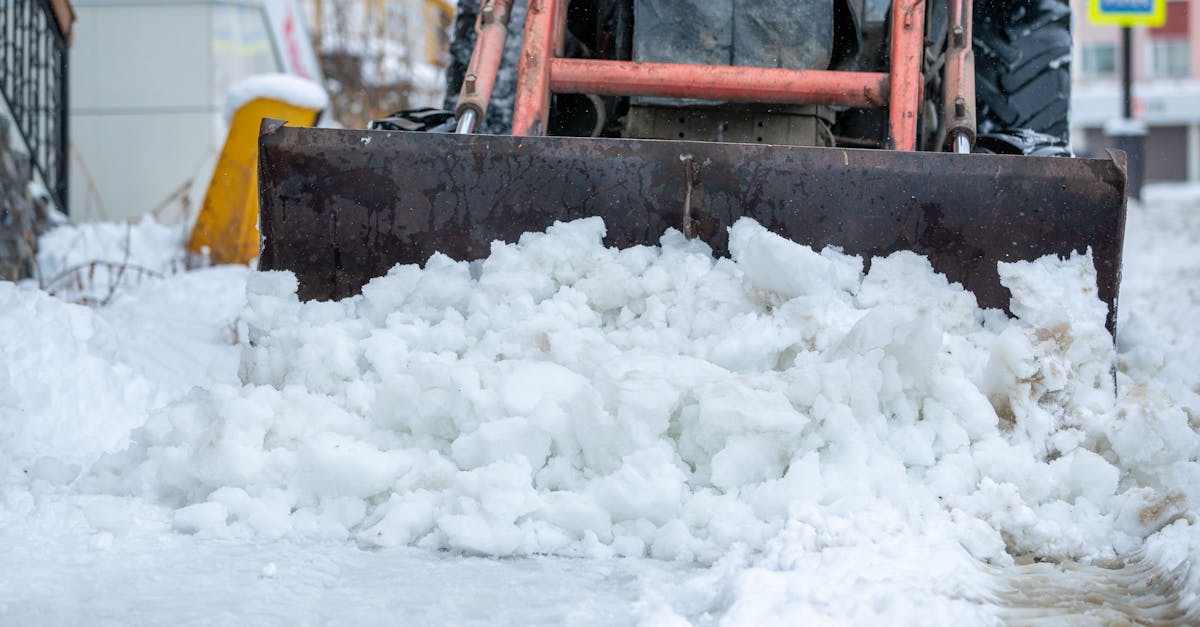
The DC Department of Public Works is mobilizing approximately 200 city trucks, augmented by some 100 contractors providing assistance. Starting Thursday night, salt trucks will begin pretreating roadways throughout the District to help snow melt once it starts falling. Staff have been notified they may be working for several consecutive days to manage the event.
West emphasized the importance of public cooperation, asking drivers to stay at least 100 feet back from plows and to move their vehicles if a snow emergency is declared. If that happens, no parking will be allowed on established emergency routes, and cars parked on those routes will be towed.
The Maryland National Guard is also preparing for rapid response, with personnel and specialized vehicles being prepositioned across the state. The guard will station assets in Western Maryland, Central Maryland, and on the Eastern Shore to respond quickly if needed.
Transit and Travel Impacts
Public transportation will face significant disruptions. Metro has changed how it communicates service changes during snowstorms, moving away from a light, moderate, and severe system to a route-by-route restoration approach. The transit agency says it will restore bus service as quickly as possible once roads and streets become passable, rather than waiting for all streets to be clear.
The combination of heavy snow, sleet, freezing rain, and dangerous wind chills means travel will be treacherous. Residents are advised to complete any necessary errands Thursday or Friday before conditions deteriorate.
What This Means
This storm represents a significant weather event for the region, with the potential to disrupt daily life for multiple days. The timing—beginning Saturday evening and continuing through Sunday—means the heaviest snow will fall when many people are at home, but travel impacts will extend into the work week.
The extreme cold that follows the snow will create additional hazards. Wind chills into early next week could pose health risks to anyone spending extended time outdoors. Roads that are cleared of snow may still be icy and dangerous as temperatures remain well below freezing.
City officials are urging residents to prepare now by stocking supplies, charging devices, and ensuring vehicles are ready for winter conditions. Those who need to travel should do so before Saturday evening when conditions begin to deteriorate. The coordination between city, state, and federal agencies suggests officials are taking this storm seriously and want to minimize disruption, but significant impacts are likely regardless of preparation efforts.


