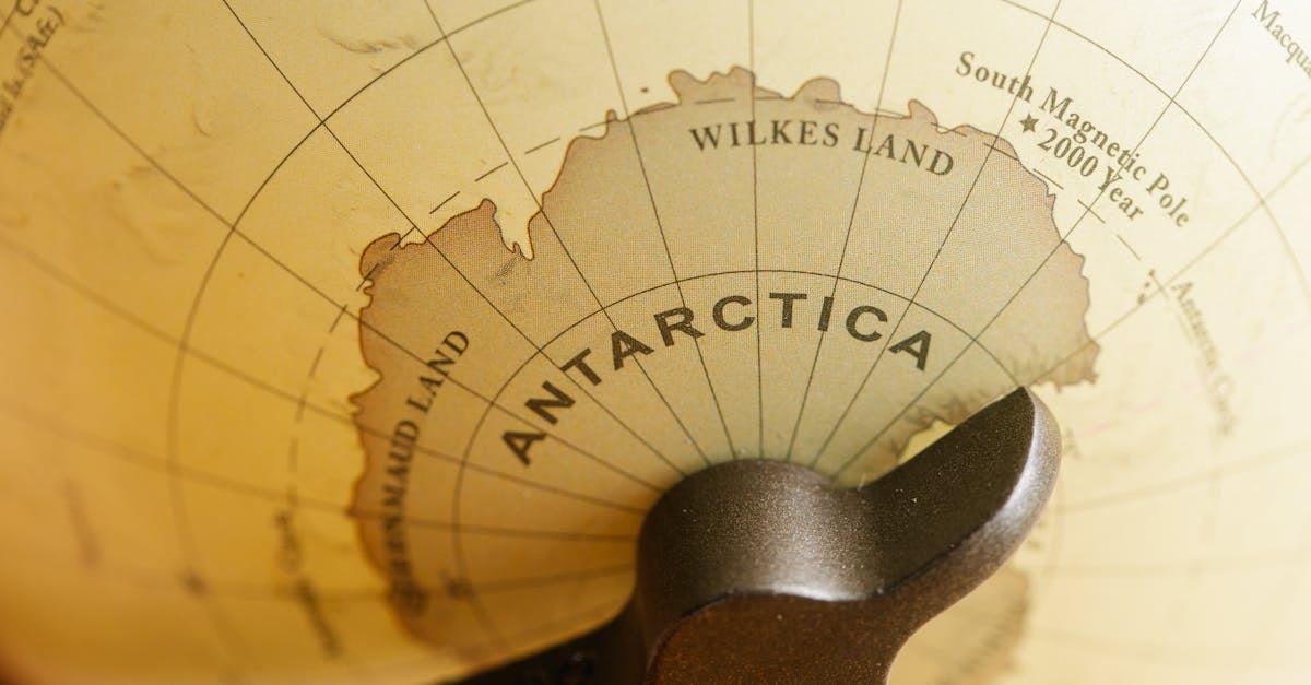
Scientists have mapped the ground under Antarctica's ice sheet in more detail than ever before. The work, led by Helen Ockenden from the University of Edinburgh and researchers from Dartmouth College, used satellite views of the ice surface and ice flow rules to reveal this hidden land. The map covers the whole continent and shows features from 2 to 30 kilometers across that no one knew about before. It came out in the journal Science on January 15.
Background
Antarctica's ice sheet covers 98 percent of the continent. It holds enough ice to raise sea levels by 58 meters if it all melted. The sheet is up to 3 kilometers thick in places, hiding mountains, valleys, plains, basins, and lakes below. This ground shapes how ice moves and how the surface looks. Knowing it well matters for guessing how the ice will act as the planet warms.
For years, mapping this area has been hard. Ground surveys and plane flights cover only small spots. Gaps between points mean guesses that miss key valleys or hills. These spots steer ice flow, so bad maps lead to wrong forecasts on ice loss and sea rise. Past maps knew more about Mars' surface than this hidden part of Earth.
The new map changes that. It pulls together sharp satellite pictures of the ice top, some ice thickness data from surveys, and a method called Ice Flow Perturbation Analysis. This method uses physics to figure out bedrock from how ice bends over it. Even small bumps below cause tiny dips on top – just a few meters under 3 kilometers of ice. Satellites spot those dips to build the full picture.
Key Details
The map shows a wild world under the ice. It found 71,997 hills across Antarctica – twice as many as older maps showed. There are deep, narrow alpine valleys, scoured flat lowlands, and long buried river channels that stretch hundreds of kilometers. One steep-sided valley runs nearly 400 kilometers in the Maud Subglacial Basin.
New Geological Finds
Some areas look like jagged mountain ranges, not smooth hills as thought before. Sharp edges between highlands and lowlands hint at old tectonic lines where Earth's plates met. In spots where old surveys guessed at buried rivers, the map shows real deep valleys. These features may date back before the ice sheet grew 14 million years ago. They act like old land scars shaped by water and wind long ago.
The map picks up mid-sized shapes clearly. Past efforts missed these because they smoothed data over big areas. Now, patterns of how glaciers carved the land stand out continent-wide. This gives a clear view of ice sheet growth and change over time.
"It is perhaps most surprising that ultimately so much detail of the bed topography — features such as glacial valleys, hills and canyons — are captured at all in the shape of the ice surface so far above," said Robert Bingham, a study co-author from the University of Edinburgh.
What This Means
This map makes ice models better. Before, rough bedrock data meant uncertain guesses on flow speed. Now, with real hills and valleys, forecasts get sharper. Jagged peaks create more drag on ice, slowing its push to the sea in some spots. Smooth lowlands let it slide faster.
Better flow models cut errors in sea-level rise predictions. As warm ocean water reaches ice edges, grounded parts below sea level face more melt risk. The map spots these weak points clearer. It guides where to send planes or drills for close checks.
The work also tells the ice sheet's story. Buried rivers and valleys show how land looked before ice took over. Glacial marks reveal how ice carved and shifted over millions of years. This past view helps guess future moves under warming.
Teams can now test ideas on ice stability. For example, deep channels may channel warm water under shelves, speeding breakup. Or rough ground might hold ice back longer. The map sets a base for daily satellite watches on surface shifts tied to bedrock.
Peter Fretwell from the British Antarctic Survey noted on a related map effort that Antarctica's ice sits thicker and more at risk on beds below sea level. New details like these back that up, showing edges where ocean meets ice more precisely.
With climate change speeding ice loss, this map arrives at a key time. It helps world efforts track Antarctica's role in sea rise, which hits coasts from Miami to Mumbai. Scientists plan to fold it into global models right away. Follow-up surveys will check spots with big unknowns, like the steep valleys.