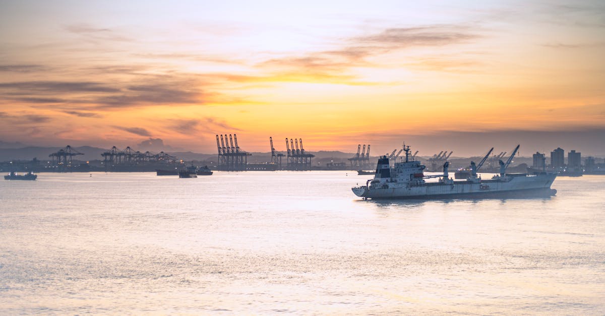
For more than a century, ships have passed through the Panama Canal without noticing something peculiar happening beneath them: they are crossing between two oceans that sit at different heights. The Pacific Ocean, on one side of the canal, is approximately 20 centimeters (8 inches) higher than the Atlantic Ocean on the other side. This difference in sea level is not a small quirk of geography—it shaped how engineers designed and built one of the world's most important shipping routes.
When the canal opened in 1914, this height difference was already known to engineers. Early surveys had revealed that the Pacific side experienced much larger tidal swings than the Atlantic, with tidal ranges reaching as much as 20 feet on the Pacific compared to just 1 foot on the Atlantic. These observations raised important questions about how water would behave in a canal connecting two oceans at different levels. The solution involved one of the canal's most ingenious features: a system of locks that lifts and lowers ships as they transit.
Background
The Panama Canal connects two bodies of water that are fundamentally different in their physical properties. The Atlantic entrance opens into the Caribbean Sea, a relatively shallow basin cut off from the larger Atlantic. The Pacific side, by contrast, connects to the vast Pacific Ocean. These geographic differences create distinct tidal patterns and water characteristics on each side.
The height difference between the two oceans is not constant. Records from the Panama Canal's chief hydrographer show that the difference averages 9.2 inches, though the Pacific can occasionally sit nearly 12 feet above the Atlantic at certain times. This variation occurs because tides, currents, and seasonal weather patterns constantly shift the water levels on both sides.
Scientists have understood for decades why this persistent height difference exists. The Pacific Ocean's water is generally warmer and fresher than Atlantic water. Warmer water is less dense than cold water, and fresher water is less dense than salty water. Because Pacific water is both warmer and contains less salt on average, it takes up more volume and sits higher on the surface. This explains the roughly 20-centimeter difference that persists year-round.
"Sea level is generally higher in the Pacific than in the Atlantic—about 20 centimeters—because Pacific waters are usually warmer, fresher, and less dense." – NASA Ocean Altimetry Research
Key Details
How the Canal Handles the Difference
When engineers designed the Panama Canal, they chose a locking system specifically because of the Pacific's higher sea level. Rather than digging a simple channel at sea level, the canal uses three sets of locks—one at each ocean and one in the middle. These locks lift ships up to an artificial freshwater lake situated 26 meters (85 feet) above sea level. Ships enter a lock chamber, water fills the chamber to raise the vessel, and then the ship passes through to the next section. On the other side, the process reverses, lowering the ship back down to sea level.
This design solved multiple problems at once. It meant engineers did not have to dig as deep, saving roughly 10 million cubic meters of excavation work. It also allowed the canal to use water from the Chagres River and Lake Alajuela to operate the locks, rather than relying on the ocean levels themselves. The freshwater lake acts as a buffer, holding enough water to fill and empty the locks thousands of times per year.
The Tidal Puzzle
The difference in tidal ranges between the Pacific and Atlantic sides remains one of the canal's most interesting features. The Atlantic side, opening into the Caribbean, experiences minimal tidal swings—sometimes just a foot or less between high and low tide. The Pacific side sees dramatic tidal changes, with water levels rising and falling by several meters throughout the day.
This difference puzzled early observers. Both sides experience the same gravitational pull from the moon and sun, yet the tidal response is vastly different. The explanation lies in the shape and size of the ocean basins. The Caribbean basin is small and shallow compared to the vast Pacific. These geographic differences mean that tidal waves travel through the basins at different speeds and interact with the coastlines in different ways. The Pacific side sits at the end of an oscillating tidal system, while the Caribbean's smaller basin simply cannot support the same tidal range.
What This Means
The height difference between the Pacific and Atlantic at Panama is more than a geographic curiosity. It demonstrates how ocean water is not uniform across the planet. Temperature, salinity, and basin shape all influence where water accumulates and how high it sits. Scientists monitoring global sea levels have used this knowledge to understand broader ocean patterns.
For the canal itself, the height difference remains manageable. The locks continue to function reliably, and the artificial lake provides a steady water supply. However, the canal's operations depend on understanding these water level differences. Pilots and engineers must account for tides, seasonal variations, and the water movement created by the locks themselves. A ship transiting the canal experiences currents of up to 4.5 knots in some sections—fast enough to create navigation challenges but not so fast that it drains either ocean.
The Pacific-Atlantic height difference also illustrates why the canal required such careful engineering. A simple sea-level canal would have faced constant pressure from water trying to flow downhill from the higher Pacific side. The lock system elegantly sidesteps this problem by lifting ships above both oceans, allowing them to cross on neutral ground. More than a century after the canal opened, this solution remains one of engineering's most practical responses to geography.