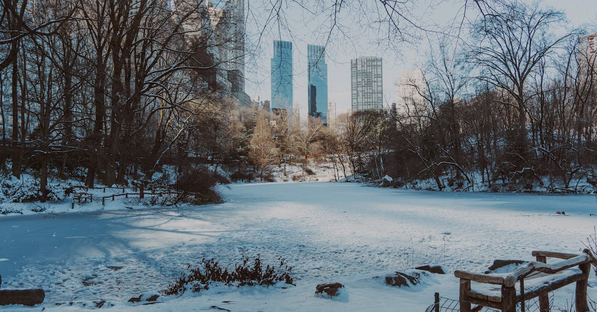
A powerful winter storm swept through New York City and the Tri-State area on Sunday, January 25, 2026, dumping heavy snow, sleet, and bitter cold that shut down roads and strained emergency services. States of emergency were declared in New York, New Jersey, and Connecticut as snowfall piled up to 10 inches in spots and temperatures dropped to life-threatening levels.
Background
The storm started early Sunday morning around 5 a.m., with snow falling steadily across the region. By midday, it had turned heavier in many places, with rates of 1 to 3 inches per hour in northern suburbs. This system stretched far beyond the Tri-State, affecting over 30 states with snow in the Northeast and crippling ice farther south.
Forecasters had warned for days that this would be one of the biggest storms in years for the New York area. Winter storm warnings covered the entire metropolitan zone, and ice storm warnings hit parts of the South. Snow began as the main threat here, but it mixed with sleet south and east of the city by afternoon. The storm was set to ease after 9 p.m., though snow showers could return Monday morning.
Governors in the affected states told people to stay home. Roads turned slick fast, and travel bans went into effect. Crews plowed around the clock, but whiteout conditions made it tough. In Rockland County, workers pulled 16-hour shifts with just four hours off, planning to keep going until Wednesday.
Key Details
Snow totals climbed quickly across the region. Central Park in Manhattan measured 7.2 inches. Washington Heights hit 8.3 inches, and Brooklyn and Queens saw 6 to 9 inches, with LaGuardia Airport at 7.1 inches and JFK at 6 inches.
Snowfall by Location
- Rockland County led with around 10 inches in Stony Point and Monsey.
- Northern New Jersey counties like Bergen, Essex, and Passaic reported 7 to 9 inches, some over 9.
- Long Island's Nassau County reached 9.2 inches near Matinecock, with 7 to 9 inches in central Suffolk.
- Fairfield County in Connecticut had 5 to 8.2 inches, highest near New York, like 8.2 inches south of Greenwich and 7.5 inches southeast of Norwalk.
- Hudson Valley spots like Middletown saw 8.2 inches, and Mahopac 7 inches.
Sleet mixed in during the afternoon, especially in Staten Island and south shore areas. Winds gusted up to 35 mph, cutting visibility and creating near-blizzard conditions north of the city.
Cold and Safety Measures
Temperatures stayed dangerously low, with wind chills making frostbite possible in under 30 minutes. New York City activated Code Blue, ensuring no one gets turned away from shelters. The city opened 10 warming centers in schools, two per borough, with food available through Monday evening. This added to 126 shelters, over 50 hospitals, and 35 safe havens.
Mayor Mamdani spoke about the risks.
"Yesterday alone, before the snow had even begun to come down, at least five New Yorkers passed away and were found outside. While we do not yet know their causes of death, there is no more powerful reminder of the danger of extreme cold and how vulnerable many of our neighbors are, especially homeless New Yorkers."
He urged calling 311 for anyone in need. The Sanitation Department rolled out 2,300 plows once 2 inches hit the ground, expected before midday.
Airports faced big disruptions. MacArthur Airport on Long Island was nearly shut down. Roads stayed messy, but officials hoped they would clear by Monday morning, better by midday.
Farther south, ice caused massive power outages, leaving hundreds of thousands without electricity. Here in the Northeast, heavy snow weighed on trees and lines, raising outage risks.
What This Means
Travel ground to a halt Sunday, with emergency declarations keeping most people indoors. Schools and businesses closed, and plowing crews worked non-stop to reopen major routes. The shift to sleet reduced some snow totals but added ice on roads and hills, making driving even riskier.
Power companies watched closely for downed lines from ice and snow. Even a quarter-inch of ice could snap branches and cause spot outages. In the South, outages already soared, and similar issues loomed here if ice built up.
The cold wave marked the coldest sustained period in New York City in eight years. Hypothermia threats lingered into Monday, with warming centers staying open. Homeless services ramped up, but the deaths highlighted gaps in protection.
Recovery starts Monday as the storm fades. Plows will clear streets, but side roads may stay buried longer. Airports aim to resume flights, though delays will drag on. Residents face digging out cars and shoveling walks, with more flurries possible.
At least 24 states had issued emergency declarations by afternoon, showing the storm's broad reach. In the Tri-State, totals put this among the top snow events recently, testing infrastructure and readiness. Officials expect roads passable soon, but urged caution with lingering cold and ice.