Scientists studying Earth's water patterns from space have discovered that El Niño and La Niña—major ocean climate cycles—are synchronizing droughts and floods across continents thousands of miles apart. The finding suggests that water crises affecting different regions are not isolated events but part of a coordinated global system driven by changes in Pacific Ocean temperatures.
The research, conducted by scientists at the University of Texas at Austin and published in AGU Advances, analyzed 22 years of satellite data to track how water storage levels changed worldwide. The team found that when these ocean cycles intensify, they push far-flung regions simultaneously into dangerously dry or unusually wet conditions, affecting food production, water availability, and global trade.
Background
El Niño and La Niña are opposite phases of the El Niño-Southern Oscillation, a natural climate pattern that cycles through the equatorial Pacific Ocean. These patterns influence rainfall, temperature, and water availability across much of the planet. Scientists have long known that these cycles affect weather, but the new study shows just how extensively they synchronize water extremes globally.
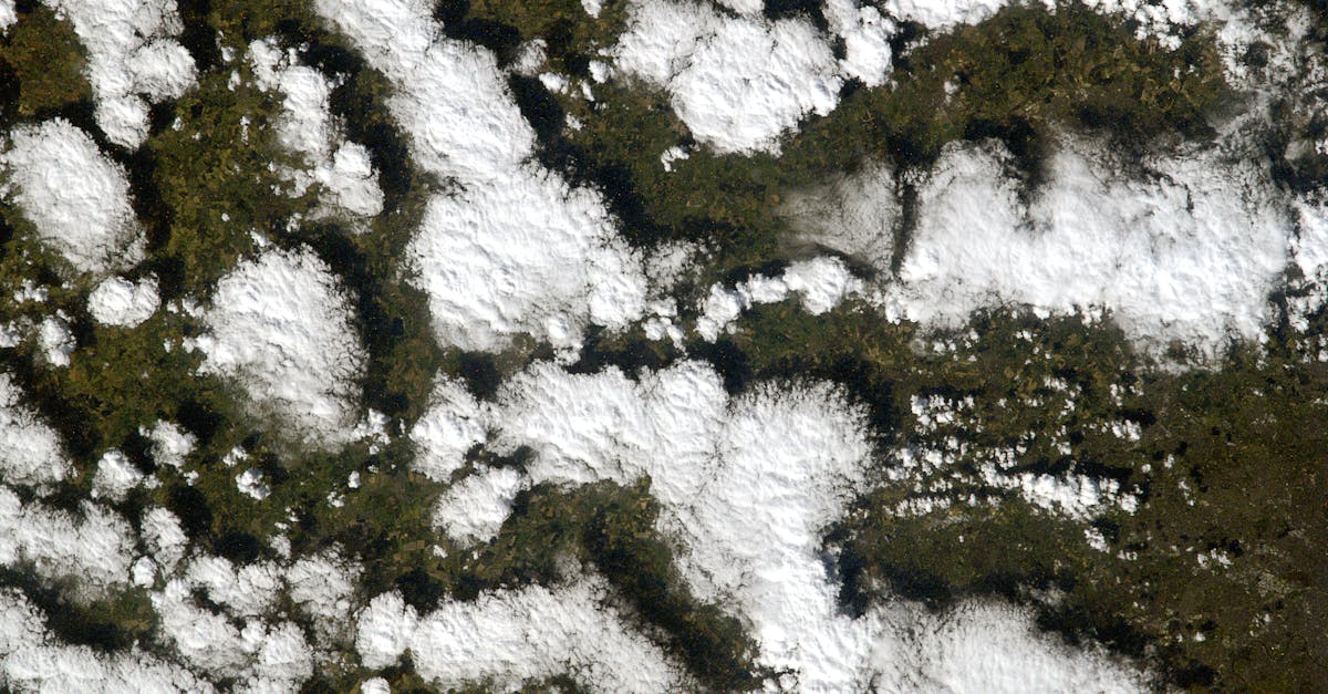
Researchers used gravity data collected by NASA satellites called GRACE and GRACE Follow-On to measure total water storage—everything from surface water in lakes and streams to snowpack, soil moisture, and groundwater. They looked at areas roughly 300 to 400 kilometers across, comparable to the size of Indiana, to understand how water extremes connected across the world.
"Looking at the global scale, we can identify what areas are simultaneously wet or simultaneously dry," said Bridget Scanlon, a research professor involved in the study. "And that of course affects water availability, food production, food trade—all of these global things."
Key Details
The researchers defined wet extremes as water storage levels above the 90th percentile for a region and dry extremes as levels below the 10th percentile. They found that abnormal ocean cycle activity can push widely separated parts of the world into extreme conditions at the same time.
Interestingly, the relationship between ocean cycles and water extremes varies by region. In some areas, El Niño brings drought, while in others, La Niña causes the same dry conditions. Wet extremes follow the opposite pattern.
The study pointed to several real-world examples. During the mid-2000s, El Niño coincided with severe dryness in South Africa. Another El Niño event triggered drought in the Amazon rainforest from 2015 to 2016. Conversely, La Niña in 2010 and 2011 brought exceptionally wet conditions to Australia, southeast Brazil, and South Africa simultaneously.
A Major Shift Around 2012
One of the study's most significant findings involves a global shift that occurred around 2011 to 2012. Before that year, wet extremes dominated the planet. After 2012, dry extremes became more common. Scientists attribute this shift to a decade-long climate pattern in the Pacific that modulates how ocean cycles affect global water.
Lead researcher Ashraf Rateb explained the approach: "Most studies count extreme events or measure how severe they are, but by definition extremes are rare. That gives you very few data points to study changes over time. Instead, we examined how extremes are spatially connected, which provides much more information about the patterns driving droughts and floods globally."
What This Means
The research has practical implications for understanding global water crises. When scientists can predict how ocean cycles will develop, they gain insight into which regions might face water shortages or flooding in the coming months. This knowledge helps governments and agricultural sectors prepare for potential impacts on crops and water supplies.
Looking ahead, weather forecasters are tracking the current state of these ocean cycles. A weak La Niña is expected to persist through February 2026, with a 55 percent probability according to the World Meteorological Organization. After that, forecasters predict a 65 to 75 percent chance of neutral conditions—when neither El Niño nor La Niña dominates—from January through April 2026.
Some experts warn that an El Niño could develop rapidly by summer 2026, potentially becoming a strong event. Such a shift would bring significant changes to global rainfall patterns and could increase drought risk in countries like India during the monsoon season.
The study shows a fundamental reality about Earth's climate system: water extremes in one part of the world are often connected to what happens thousands of miles away. Understanding these connections helps explain why droughts in Africa can coincide with floods in South America, and why water crises are increasingly recognized as global rather than local problems.